Overview
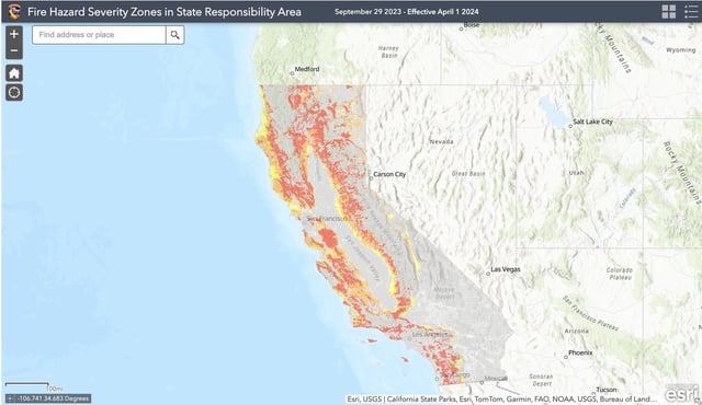
- Cal Fire's new draft maps identify areas at 'moderate,' 'high,' and 'very high' fire risk across Northern California, with Southern California maps to follow on March 24.
- The maps expand fire hazard zones by 1.4 million acres statewide, including 360,000 acres in Northern California, impacting building and landscaping regulations.
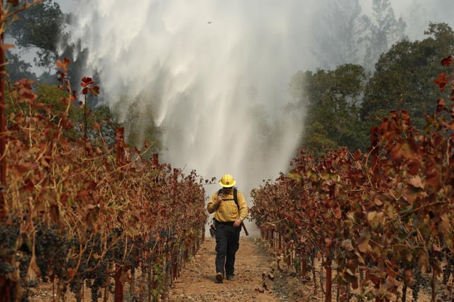
- Stricter fire safety codes, such as bans on flammable materials within five feet of homes, will apply to new and existing properties in the highest-risk zones over time.
- Some areas, like San Jose and Sonoma County, saw significant increases in high-risk zones, while others, like Oakland and Berkeley, experienced reductions in designated risk areas.
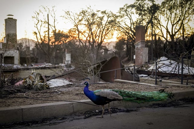
- The maps aim to guide local governments and residents in fire mitigation efforts but do not account for urban fire spread or existing fire-resistant measures.