Overview
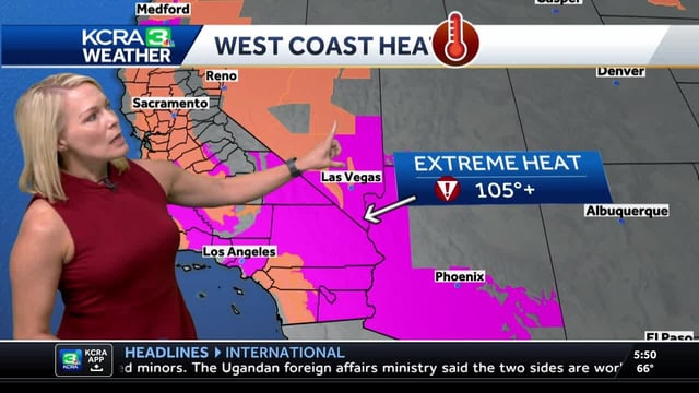
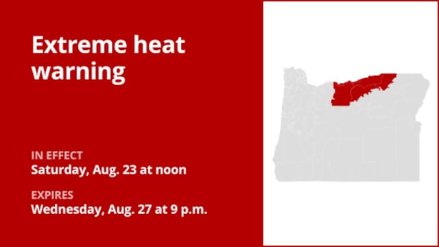
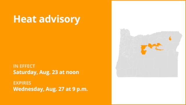
- Extreme heat warnings and advisories remain in place across large parts of the state, including Southern California mountains, valleys and deserts, with some Central Valley alerts extending into Sunday.
- Thursday delivered some of the hottest readings of the year as multiple Bay Area cities set daily records and parts of Southern California tied or broke marks, with little overnight relief in the L.A. Basin.
- Monsoonal moisture is pushing north, bringing higher humidity and increasing chances of thunderstorms in the Sierra and Southern California mountains and deserts through the weekend.
- Forecasters warn of dry lightning and localized flooding risks from these storms, as a red flag warning continues for the Los Angeles and Ventura County mountains and foothills.
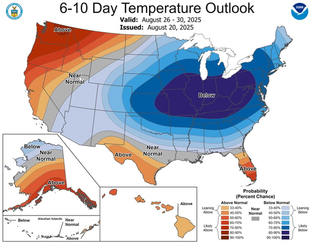
- Coastal onshore flow is beginning to restore relief, but inland highs near or above 100 persist — including 105-plus in the Central Valley and 111–115 in lower deserts — prompting Impact Day guidance and Cool Zone activations in San Diego.