Overview
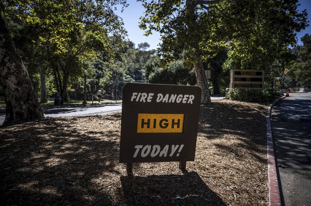
- National Weather Service alerts include an Extreme Heat Watch for San Diego County’s mountains and deserts from Thursday to Friday, with triple‑digit highs and a risk of afternoon thunderstorms from monsoonal moisture.
- Extreme heat warnings cover parts of Los Angeles, Ventura, Santa Barbara and San Luis Obispo counties from Thursday through Saturday, with some valley locations such as Woodland Hills forecast near 109°F and limited overnight relief.
- Northern California’s Valley is expected to top out around 101–105°F Thursday through Saturday, with Foothills in the mid to upper 90s and increasing chances of Sierra thunderstorms Friday into the weekend.
- Climate Prediction Center guidance points to a notable late‑week cooldown for much of the central and eastern U.S., with some spots dropping roughly 15–20°F; forecasts cite highs only in the low 70s early next week around Detroit and Little Rock.
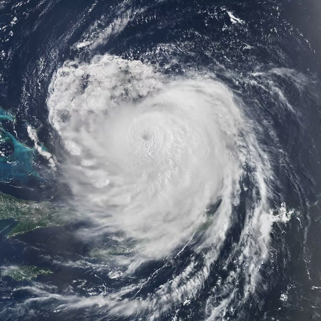
- The Met Office expects a largely settled and dry UK bank holiday before a possible shift to wetter, windier conditions next week as ex‑Hurricane Erin is monitored, with some model charts also suggesting a brief late‑August warm spell that remains uncertain.


