Overview
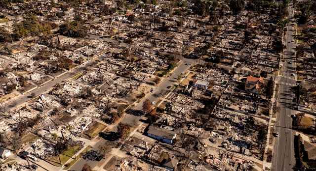
- Cal Fire's updated maps classify 5.1 million Californians, or 1 in 8 residents, as living in 'high' or 'very high' wildfire hazard zones.
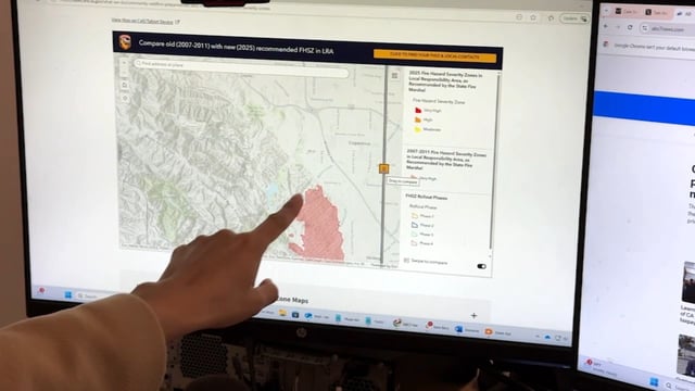
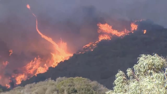
- The maps show a 168% increase in high-risk areas compared to 2011, driven by improved data modeling and the escalating impacts of climate change.
- Stricter safety requirements, including fire-resistant construction standards and 100-foot defensible space mandates, are now in effect for homes in high-risk zones.
- San Jose saw the largest increase in high-risk acreage in the Bay Area, with zones more than doubling since the previous map update.
- The maps aim to guide long-term wildfire mitigation and reflect growing concerns over extreme weather patterns and vegetation fueled by climate change.