Overview
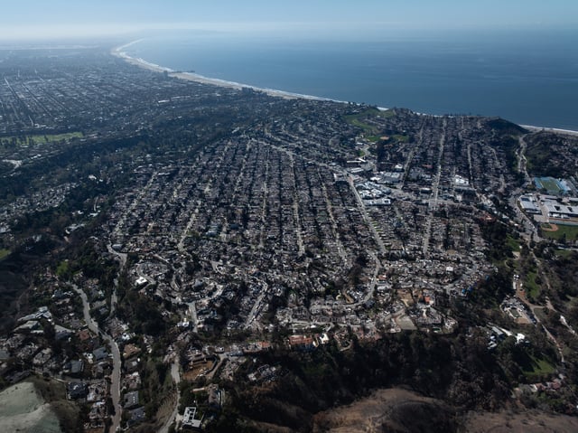
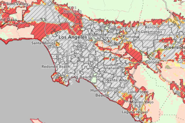
- CalFire has completed its first update to local fire hazard severity maps since 2011, expanding high and very high hazard zones to 3,626 square miles.
- The maps now include 'moderate' and 'high' hazard zones, alongside 'very high' zones, increasing the total mapped area to 6.8 million acres.
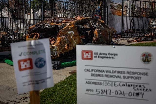
- New regulations require fire-resistant building codes, defensible space maintenance, and real estate hazard disclosures in high-risk zones.
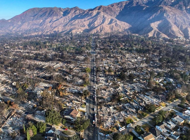
- Climate change, advanced modeling, and legal mandates are key drivers of the expanded hazard areas, reflecting a worsening wildfire crisis.
- Local jurisdictions have 120 days to gather public input and implement the maps, which exclude urban conflagration risks, limiting their predictive scope in densely populated areas.