Overview
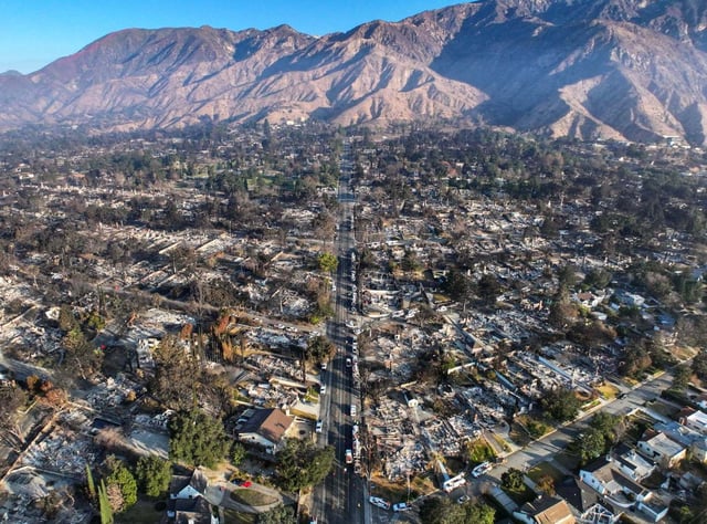
- Cal Fire has finalized the release of updated Fire Hazard Severity Zone maps, marking the first major revision in over a decade.
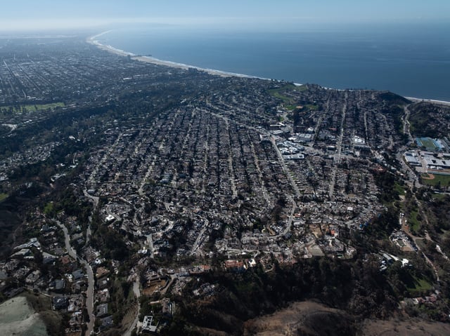
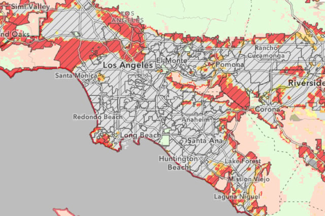
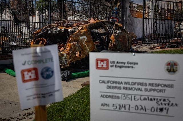
- The maps expand 'very high' fire hazard zones by 35% statewide and add more than 440,000 acres in Los Angeles County, a 30% increase in the highest severity category.
- Local jurisdictions now have 120 days to review and adopt the maps, which will guide stricter building codes, defensible space requirements, and land-use decisions.
- The updated maps incorporate advanced modeling and refined data, focusing on wildfire likelihood and behavior over a 30- to 50-year period.
- Nearly 1 in 10 Californians now live in zones subject to heightened fire safety regulations, impacting property values, insurance, and home construction standards.