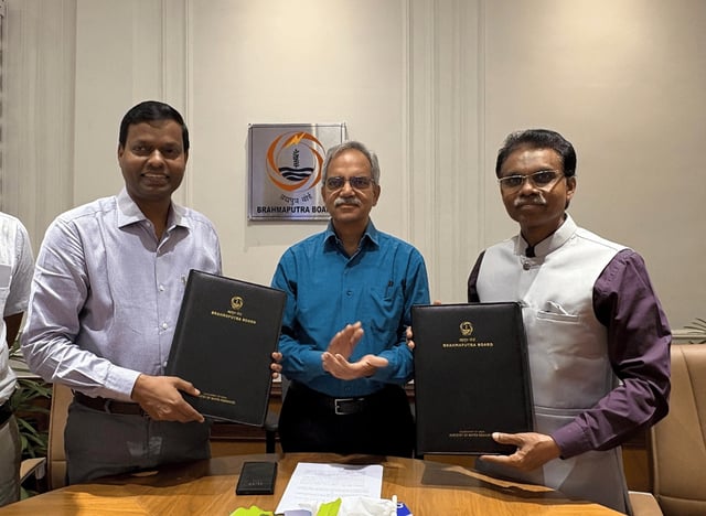
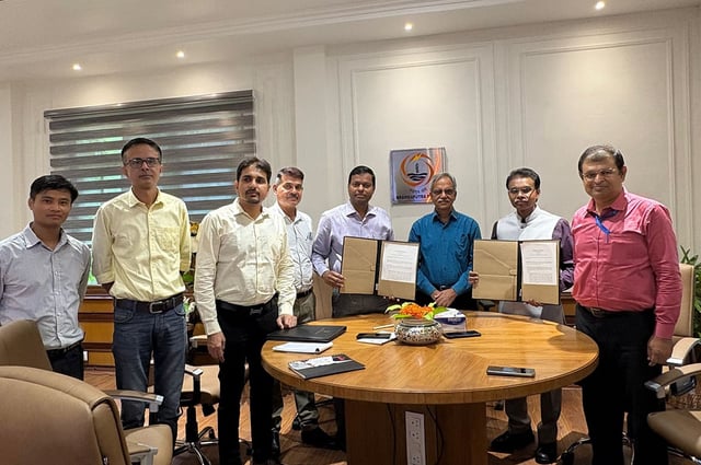
Overview
- The five-year MoU formalizes geospatial cooperation across the Brahmaputra and Barak river basins
- Survey of India will support aerial and topographic surveys, GTS benchmark installations and high-resolution mapping using UAV, GNSS and LiDAR
- Both parties will share spatial datasets and jointly operate Continuously Operating Reference Stations to ensure standardized, high-accuracy data
- A Joint Working Group will steer annual work plans to monitor progress on flood control, drainage improvement and infrastructure planning
- Officials say the partnership will boost scientific and technological capacity for water-resource management and flood mitigation in the ecologically sensitive northeastern region