
Overview
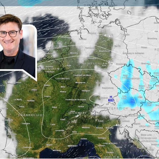
- Germany’s weather service warns that the storm’s first impacts arrive overnight into Saturday, with the strongest winds from Saturday into Sunday along the North Sea and on exposed peaks.
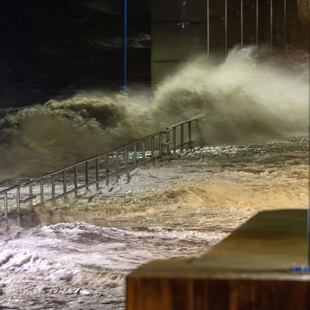
- The Lower Saxony storm‑surge service projects two light surges, with late‑Saturday high tide up to about 1 meter and Sunday morning up to roughly 1.5 meters above mean high tide in ports including Emden, Wilhelmshaven and Bensersiel.
- Island operators report disruptions: Langeoog signals possible Sunday morning cancellations, Spiekeroog’s fast ferry WattnExpress is already suspended, and Norden‑Frisia flags possible changes for Juist.
- Peak gusts are forecast near 100 km/h at the coast, around 80 km/h inland and up to 120–130 km/h on the Brocken, with heavy rain in uplands and coastal downpours or isolated thunderstorms; forecasters caution that transport disruptions are possible.
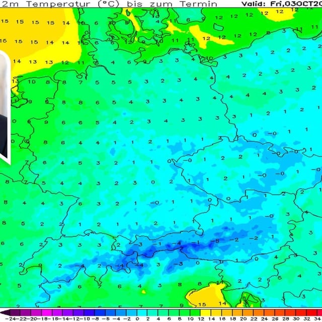
- Before the storm, clear nights bring early‑season frost inland, and outlooks for next week remain uncertain, with scenarios ranging from a brief calmer spell to renewed Atlantic lows.