

Overview
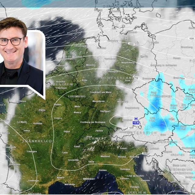
- Forecasters expect the storm’s outflows to reach Germany on Saturday with the strongest impacts at the North Sea coast and exposed uplands through Sunday.
- Peak gusts are projected at about 120 km/h on the Brocken, near 100 km/h along the coast, and up to roughly 80 km/h in inland areas such as around Hamburg and Hannover.
- Lower Saxony’s storm surge service expects two light storm surges, with high tides up to 1.0 m above average late Saturday and up to 1.5 m on Sunday morning, posing flooding risk for beaches and harbor areas.
- Ferry operators warn of possible disruptions, including potential Sunday morning cancellations to and from Langeoog, suspension of Spiekeroog’s WattnExpress, and possible changes on Juist routes.
- DWD warns of severe gusts and heavy orographic rain over the Mittelgebirge, while forecasts also flag frosty nights now and a possible brief warm-up early next week toward 20–22°C subject to model uncertainty.