
Overview
- The India Meteorological Department says a well-marked low over the Bay of Bengal is likely to become a depression and cross the south Odisha–north Andhra Pradesh coast on the morning of September 27, with heavy to very heavy rain forecast through the weekend.
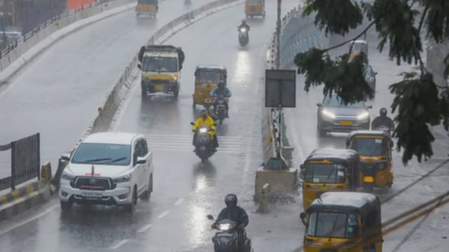
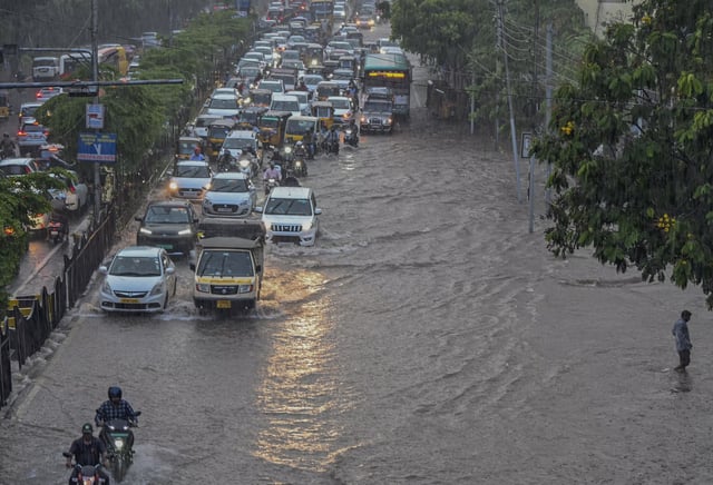
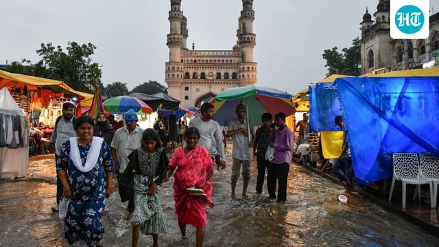
- Hyderabad saw widespread waterlogging, stalled traffic and power issues as police urged IT firms to allow work from home and airport officials confirmed IndiGo flight diversions due to poor visibility; controlled releases from Himayat Sagar and Osman Sagar prompted precautionary evacuations along the Musi.
- Odisha reported heavy rain with red and orange alerts in multiple districts, school closures in Malkangiri, and high downstream discharge from Hirakud leading to 5.64 lakh cusecs at Mundali, with delta districts warned to prepare for potential flooding.
- Kerala issued orange alerts in several districts, shut schools in Thiruvananthapuram and reported urban flooding, while the IMD warned fishers off the Kerala, Karnataka and Lakshadweep coasts due to squally winds and rough seas.
- Maharashtra faces an orange alert for Mumbai, Thane, Palghar and other Konkan districts from September 27–29 with the state issuing a safety advisory, while Andhra Pradesh ordered full preparedness with control rooms and NDRF/SDRF on standby and cautioned fishers against venturing out.