


Overview
- Temperatures in the Bay Area dropped 15-20 degrees on Wednesday, following record-breaking highs earlier in the week, with Sonoma County Airport recording its largest March 24-hour temperature drop in history.
- Light rain began Wednesday evening as a weak cold front moved through, with the North Bay receiving the highest rainfall totals of up to 0.5 inches in higher terrain.
- The region's microclimates are causing significant variations in weather, with cooler, overcast conditions along the coast and warmer, sunnier weather in interior valleys like San Jose and Livermore.
- Winds of 20-30 mph are accompanying the cooler temperatures, particularly in coastal and higher elevation areas, adding to the unsettled weather conditions.
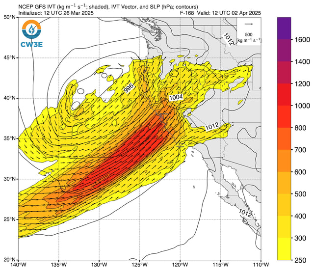
- The Bay Area is entering a wetter pattern, with multiple rounds of rain forecast through early April, including heavier precipitation expected next week.