Overview
- High tide advisories remain in effect each evening through Thursday, causing minor flooding along low-lying bayshore areas from San Francisco to Santa Cruz.
- A deep marine layer is expected to blanket coastal zones overnight and retreat inland by late morning, paving the way for sun-soaked afternoons in most Bay Area communities.
- Fog is likely to return to San Francisco and surrounding coastal areas by Monday morning, with low clouds expected to clear by midday.
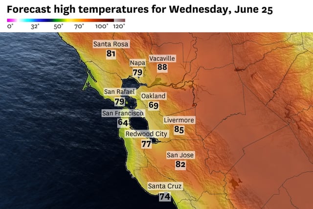
- Interior valleys are forecast to warm into the upper 80s and briefly near 90 degrees while shoreline locales stay in the 70s.
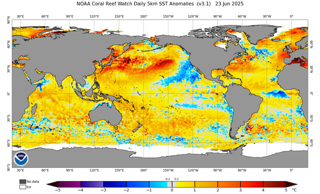
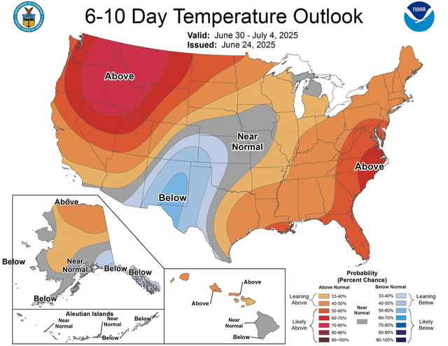
- Forecasters see no sign of a hot summer pattern through at least July Fourth, as colder-than-average sea surface temperatures reinforce mild conditions.