Overview
- Southeast Texas experiences near-normal temperatures midweek following a recent cold front, with rising heat and humidity forecasted later this week ahead of potential Easter weekend showers.
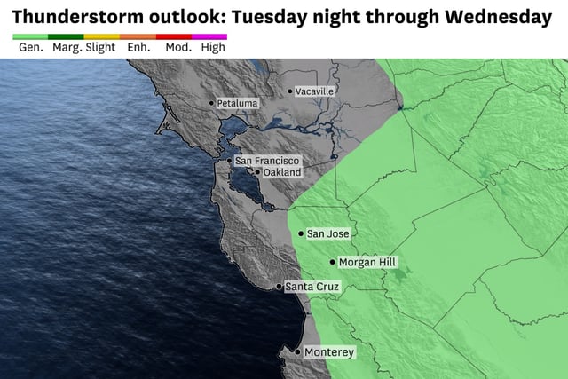
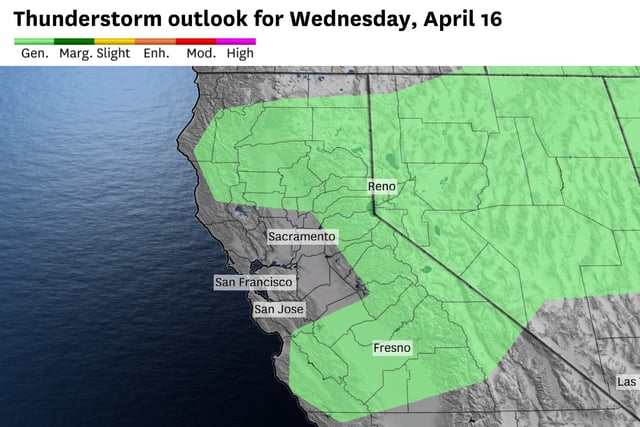
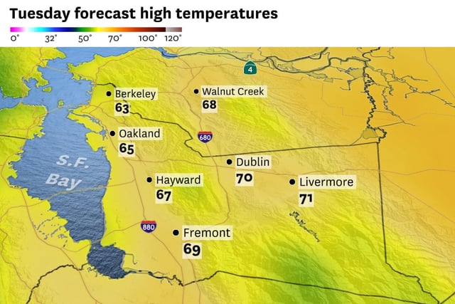
- A low-pressure system off the California coast keeps the Bay Area cool with morning fog and a 20% chance of isolated thunderstorms on Wednesday, followed by clearing skies and warmer temperatures heading into the weekend.
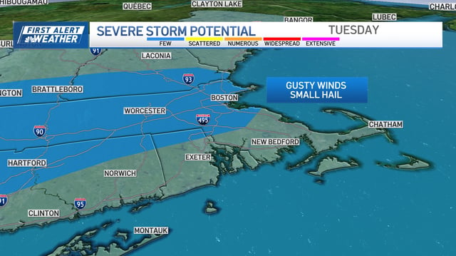
- Boston sees sunny but gusty conditions midweek after Tuesday's showers and storms, with another front expected to bring showers Friday night into Saturday before a dry Easter Sunday.
- The National Weather Service highlights a low chance of thunderstorms in the Bay Area Wednesday, which could produce small hail, gusty winds, and brief downpours in isolated areas.
- Scattered mid- to high-level clouds in the Bay Area on Wednesday may create vibrant sunrises and sunsets, adding scenic beauty to the region’s spring weather patterns.