Overview
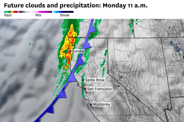
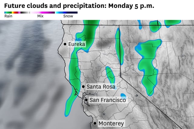
- Two systems are forecast to arrive in quick succession, with the first bringing showers Monday and a second front moving through around Wednesday.
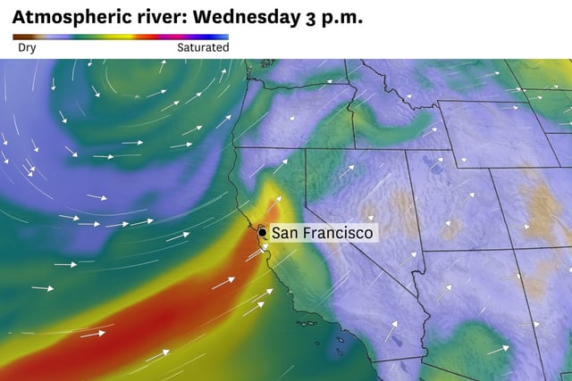
- An active Pacific setup is steering moisture from the Gulf of Alaska, and forecasters say the midweek system could draw on remnants of a western Pacific typhoon.
- Rainfall will be uneven: up to about 1 inch in the North Bay, around a half-inch in San Francisco, roughly a quarter-inch in the East Bay, and near a tenth inland, with 1 to 2 inches possible along the far North Coast.
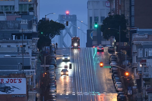
- Confidence remains low for precise placement and intensity, so scattered showers or isolated thunderstorms may produce short, localized downpours, raising the chance of slick roads and minor urban ponding.
- The unsettled weather should help clear Moon Complex wildfire smoke; showers may linger into Thursday before warmer, drier conditions return Friday into the weekend.