
Overview
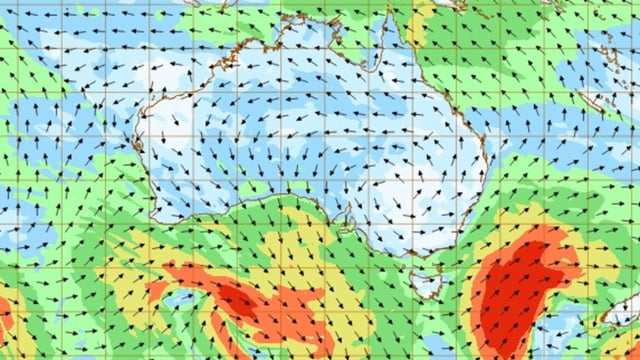
- The first and stronger cold front struck Western Australia on July 12, bringing 10–20 mm of rain, gusty winds and isolated showers.
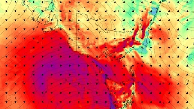
- A second front is crossing the Bight into South Australia, Tasmania, Victoria, southern New South Wales and the ACT with forecasts of damaging winds and coastal thunderstorms through Monday.
- Meteorologists predict pockets of small hail along southern coasts and 5–10 cm of fresh snow in the Australian Alps between Sunday afternoon and Monday morning.
- A transient high-pressure system on July 11 offered a brief respite after a week of gusty wind damage.
- State emergency services advise residents to stay clear of fallen power lines and storm-damaged areas as repair and recovery work continues.