
Overview
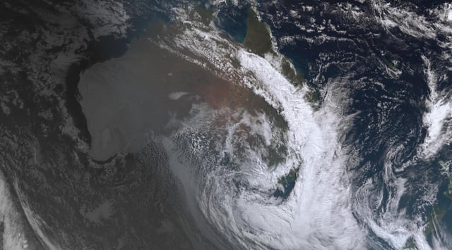
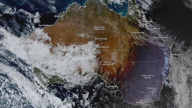
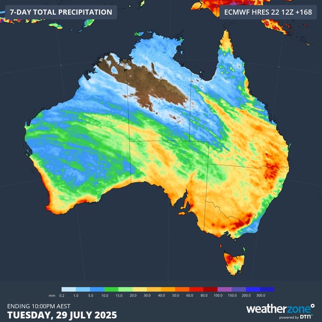
- Since July 23, a northwest cloudband has drenched about 80% of Australia, delivering up to 50 mm in key farming regions and over 80 mm in isolated areas.
- Alpine resorts including Perisher and Charlotte Pass have recorded more than 50 cm of new snow, pushing snowpack above two metres in some locations.
- Flood watches span parts of the eastern seaboard where saturated soils heighten the risk of localized flooding despite lighter forecasts.
- Severe wind warnings cover exposed ranges in Victoria, South Australia and Tasmania, with gusts exceeding 150 km/h at Mount Hotham.
- Long-range models now forecast a wetter-than-average spring for eastern and southern states, raising hopes for sustained drought relief.