Overview
- The Bureau of Meteorology has issued severe warnings for damaging winds in South Australia, Victoria, Tasmania and parts of New South Wales.
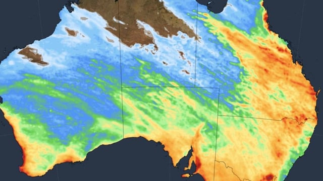
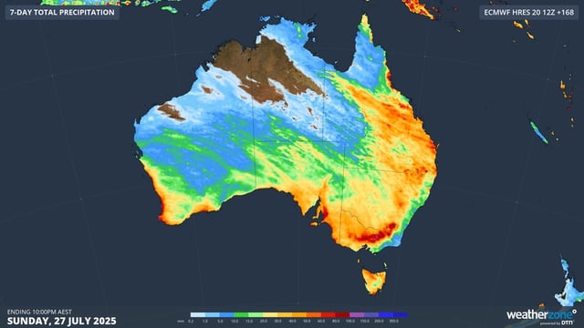
- The first front has already crossed Western Australia and South Australia, spawning a low-pressure trough that is drawing tropical moisture into a vast north-west cloud band.
- Meteorologists recorded wind gusts up to 150 km/h at Mount Hotham and warn of further gusts up to 120 km/h in alpine and coastal areas, posing risks to property and power lines.
- Alpine regions will receive snowfall and widespread temperatures two to three degrees below average for July, intensifying the season’s cold snap.
- A second cold front is due to hit Western Australia on Wednesday and track east by the weekend, bringing heavier and more widespread rainfall across almost every state and territory.


