


Overview
- Meteorologists report an unusual lull at the climatological peak, with no new named Atlantic storms for nearly three weeks and only six named systems so far this season.
- Forecasters attribute the quiet spell to strong vertical wind shear, pervasive dry and stable Atlantic air, and reduced rainfall over western Africa that limits robust tropical waves.
- NOAA had projected an above‑normal season with 13 to 18 named storms, underscoring the gap between outlooks and activity to date.
- Guidance indicates the system east of the Caribbean could gain a name in the coming days while tracking over the open Atlantic away from populated areas.
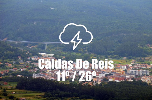
- Regional forecasts highlight localized hazards: Spain’s AEMET issues a yellow heat alert for Asturias with highs near 34–35 °C and dry, mostly sunny conditions across Galicia; Catamarca, Argentina may spike to 39 °C before a weekend cold pulse; and Monterrey, Mexico faces a humid day near 29–30 °C with a 50–70% chance of nighttime showers tied to a local low.