


Overview
- On Saturday, showers and thunderstorms are expected from morning in Valle d'Aosta, Piemonte and Liguria, intensifying by afternoon over Lombardia, Valle d'Aosta, Liguria and Trentino.
- By evening Saturday, the disturbance should extend across the Northeast with stronger events possible in Veneto and Friuli Venezia Giulia, with some effects reaching parts of central regions such as Tuscany and Marche.
- Forecasters describe the convective activity as irregular and locally intense, with brief downpours or gusty storms not affecting all areas uniformly.
- On Sunday, the residual front is forecast to slide along the Adriatic side of the Center with more clouds and isolated showers especially in Marche, Abruzzo and Molise, while conditions improve elsewhere.
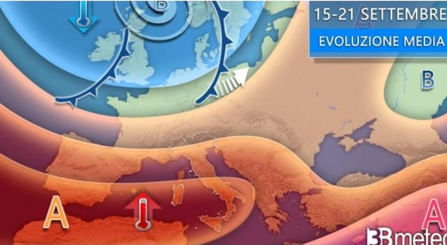
- From Monday, a broad anticiclone is projected to re-establish stable late‑summer weather, with the South and major islands staying sunny and temperatures locally above 30°C in inland areas.