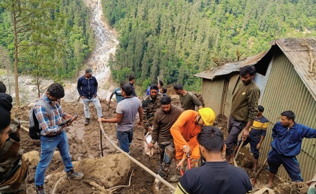
Overview
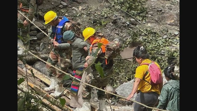
- The landslide struck Lachen, Sikkim on June 1, killing three soldiers and leaving six missing.
- Within 24 hours the Army deployed BonV Aero’s ground-penetrating radar drone to scan the debris field.
- The UAV identified two subsurface anomalies at depths of 0.76 metres and 0.015 metres that excavation later confirmed as human remains.
- Real-time transmission of GPR data to digital maps enabled engineers to focus digging efforts and minimize exposure to unstable terrain.
- The success underscores the potential of Indian deep-tech solutions in high-altitude disaster response.