

Overview
- Argentina’s meteorological service (SMN) maintains yellow alerts for Saturday for storms in Corrientes, Misiones and parts of Chaco and Formosa, and for strong winds across several provinces.
- SMN guidance details gusts generally reaching 42–50 km/h in Patagonia and about 60–69 km/h in central and northern regions, with additional cold advisories in parts of San Luis, Córdoba, Neuquén and Mendoza.
- Cordillera sectors continue under SMN warnings for wintry conditions, with prior notices of significant snowfall and sub‑zero minima in stretches of Mendoza, Neuquén and San Juan.
- In Mexico City on Friday, SMN and the capital’s civil‑protection agency warned of strong to very strong afternoon‑evening storms with lightning, possible hail and gusts near 50 km/h, cautioning about flooding, landslides and rising streams.
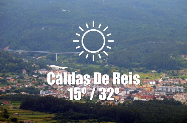
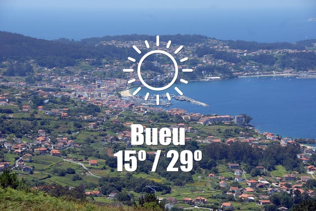
- Galicia’s AEMET‑based local forecasts report a dry, mostly clear spell through Saturday with 0% rain chances and daytime highs commonly around 28–32 °C across multiple municipalities.