Overview
- The Bureau of Meteorology forecasts a series of fronts from Wednesday through Saturday bringing the season’s most significant snowfall to the Australian Alps and flurries beyond the high country.
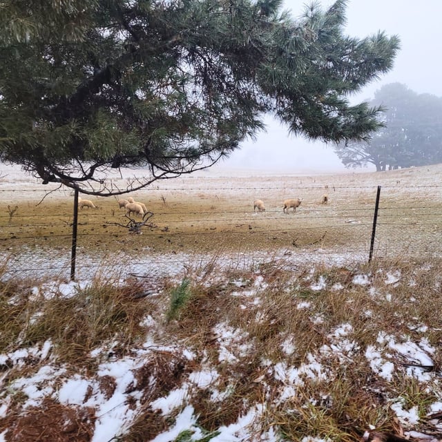
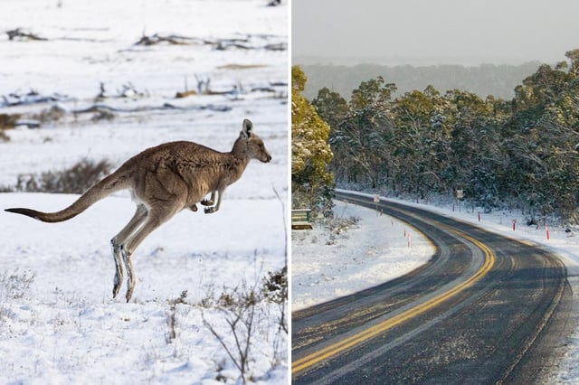
- Snow levels are expected to drop to unusually low elevations by late week, reaching about 300m in Tasmania, 600m in Victoria and 700m in New South Wales, with flurries possible in typically snow‑free areas.
- Gusts above 100 km/h are forecast for parts of NSW and Victoria, with SES warnings issued for regions including the Illawarra, Blue Mountains and alpine areas.
- Very strong winds have already been recorded at alpine sites, halting some chairlifts, and forecasters expect 50–80cm of new snow with local totals near one metre by Saturday.
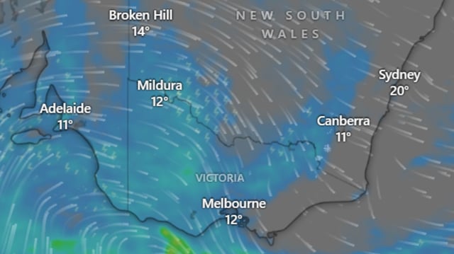
- Forecasters say the cold outbreak could push Antarctic air into central and northern Australia for a notably chilly start to spring, and authorities warn motorists to prepare for hazardous roads well beyond the ski fields.