Overview
- Apple's new 'Surveyor' app aims to improve Apple Maps by collecting real-world data such as street signs and roadside details.
- The app is not publicly available and is intended for use by partner companies tasked with mapping assignments.
- Surveyor integrates with the third-party app Premise, which rewards users for completing data collection tasks like photographing specific locations.
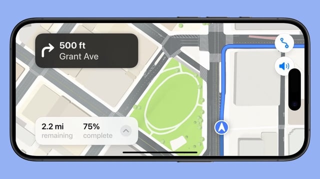
- Users participating in mapping tasks are instructed to capture images along designated routes using mounted iPhones in landscape mode.
- This initiative reflects Apple's strategy to enhance its mapping ecosystem through crowdsourced data, potentially rivaling competitors like Google Maps and Waze.

