Overview
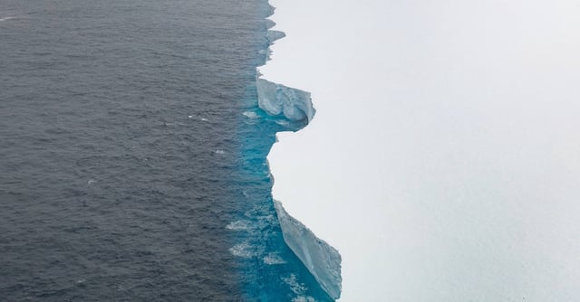
- Satellite imagery from the EU Copernicus program shows A23a has shrunk to roughly half its area after recent calvings totaling about 400 square kilometers.
- The remnant spans about 1,770 square kilometers and is roughly 60 kilometers across at its widest, indicating rapid losses in warmer waters north of Antarctica.
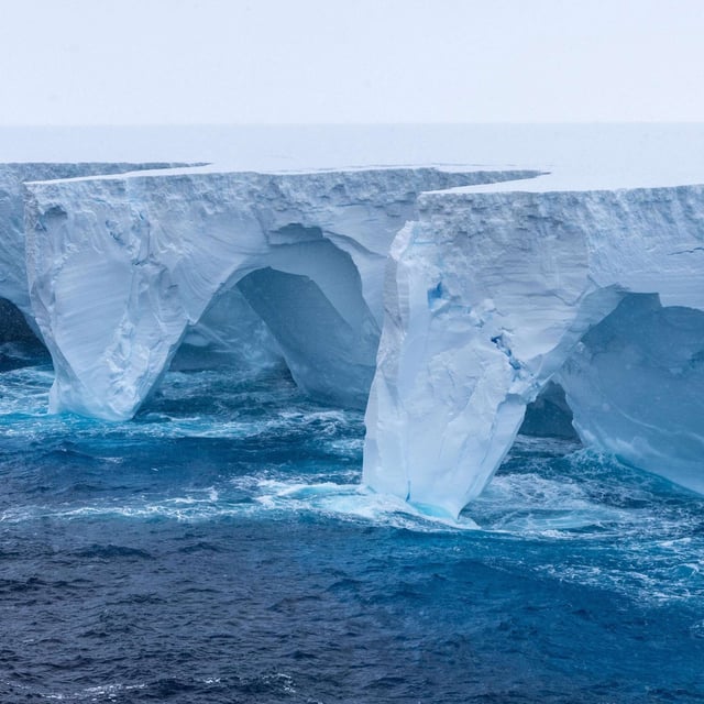
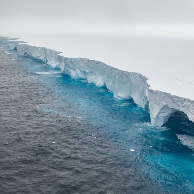
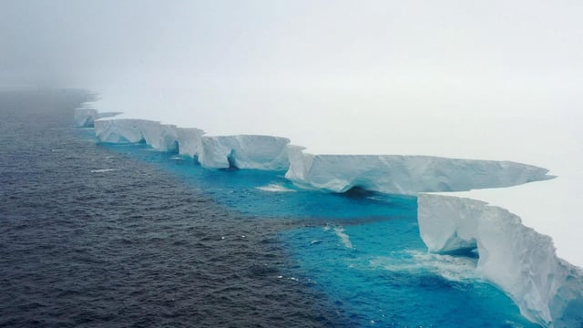
- British Antarctic Survey scientists say the berg could be unrecognizable within weeks as warmer water and increased wave energy erode it from below.
- Large fragments and numerous smaller pieces continue to drift nearby, posing navigational hazards to shipping in the South Atlantic.
- The current disintegration caps a 40‑year saga that began with calving in 1986, decades grounded in the Weddell Sea, and a March grounding near South Georgia that prompted concerns for local penguin and seal feeding grounds.