Overview
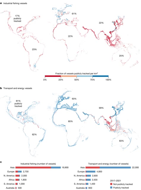
- New research led by Global Fishing Watch has revealed that 75% of the world's industrial fishing vessels and a quarter of transport and energy ships are not publicly tracked, leading to significant blind spots in our understanding of human activity at sea.
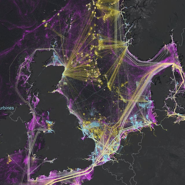
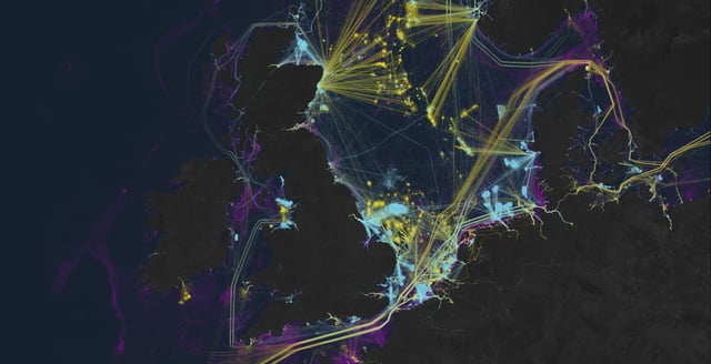
- The study used AI and satellite imagery to create the first global map of large vessel traffic and offshore infrastructure, uncovering a vast amount of previously 'dark' industrial activity.
- The research also highlighted rapid growth in offshore energy development, with wind turbines outnumbering oil structures by 2021. China's offshore wind energy increased ninefold from 2017 to 2021.
- Much of the 'dark' activity was found around Africa and South Asia, with numerous untracked fishing vessels detected inside many marine protected areas.
- The study's findings could help improve ocean management and transparency, aiding efforts to protect marine resources and estimate greenhouse gas emissions at sea.