Overview
- The African Union endorsed the effort on Aug. 14, and organizers say a petition signed by member states has surpassed 5,000 verified signatures.
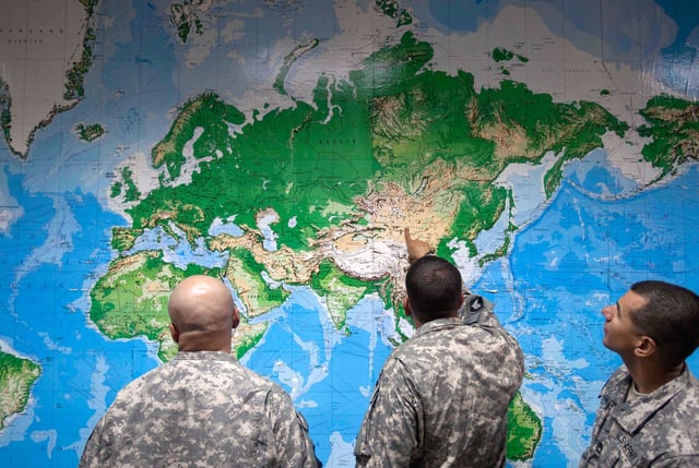
- The Correct the Map campaign, led by Africa No Filter and Speak Up Africa, urges schools and institutions to adopt the Equal Earth projection introduced in 2018.
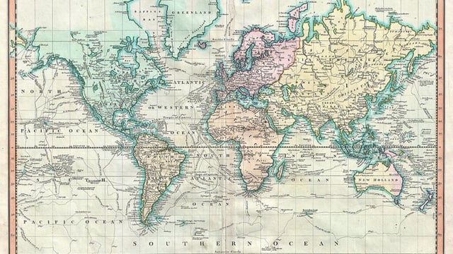
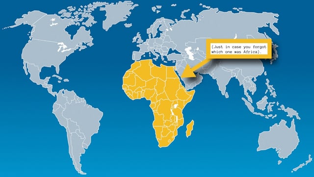
- Mercator, devised in the 16th century for navigation, enlarges high-latitude regions so that Greenland can appear comparable to Africa, though roughly 14 Greenlands fit inside the continent.
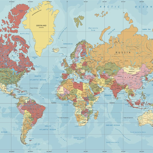
- Adoption remains uneven as many classrooms and mobile mapping apps still default to Mercator, even though Google shifted desktop Maps to a 3D globe in 2018.
- Geographers note no flat map is distortion-free, but many call Mercator outdated for world maps and recommend equal-area options to present countries’ relative sizes more accurately.