Overview
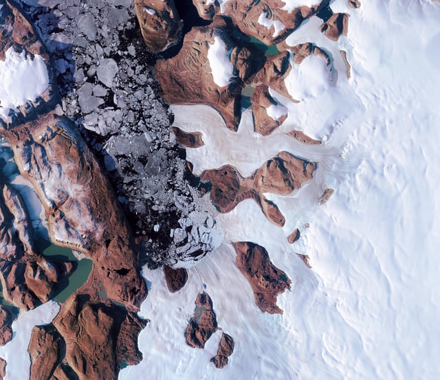
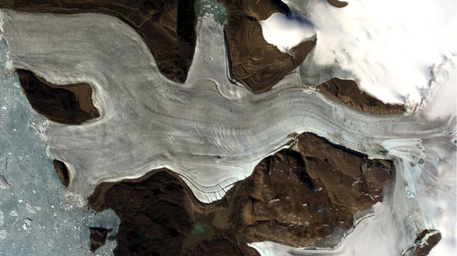
- A July 30 Nature Geoscience paper confirms that in summer 2014 a hidden subglacial lake emptied 90 million cubic meters of water in 10 days, carving an 85-meter-deep, 2 km² crater on Greenland’s ice surface.
- Scientists used ESA’s CryoSat, Copernicus Sentinel-1 and Sentinel-2, NASA’s ICESat-2 and ArcticDEM 3D models to detect and reconstruct the flood’s upward trajectory through the ice.
- The flood fractured about 385,000 m² downstream, uprooted 25-meter-high ice blocks and scoured a 6 km² swath of ice, revealing the violent force of upward-driven meltwater.
- Researchers found the event occurred where the ice bed was thought frozen, leading to a pressure-driven fracturing mechanism that opened conduits from the bed to the surface.
- Experts warn that current numerical models omit such fracture-driven outburst floods, risking underestimates of ice-sheet vulnerability and future sea-level contributions.