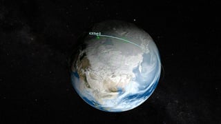
ICESat-2, part of NASA's Earth Observing System, is a satellite mission for measuring ice sheet elevation and sea ice thickness, as well as land topography, vegetation characteristics, and clouds. From Wikipedia
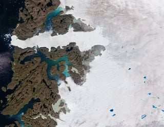
Satellite data from 2010 to 2022 highlights alarming ice loss, contributing significantly to global sea level rise.