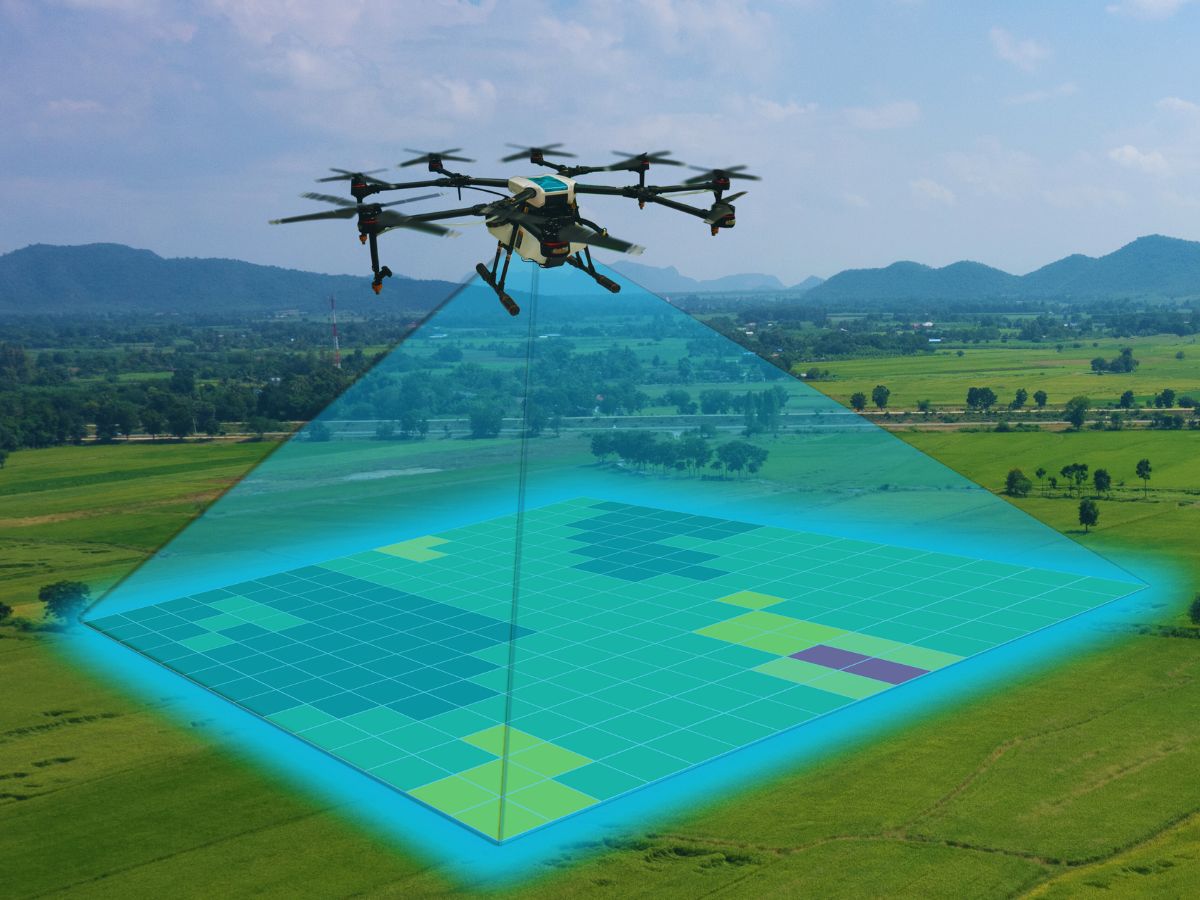
Aerial survey is a method of collecting geomatics or other imagery data using airplanes, helicopters, UAVs, balloons, or other aerial methods. Typical data collected includes aerial photography, Lidar, remote sensing and geophysical data. It can also refer to a chart or map made by analyzing a region from the air. From Wikipedia